 Geobru catalogue
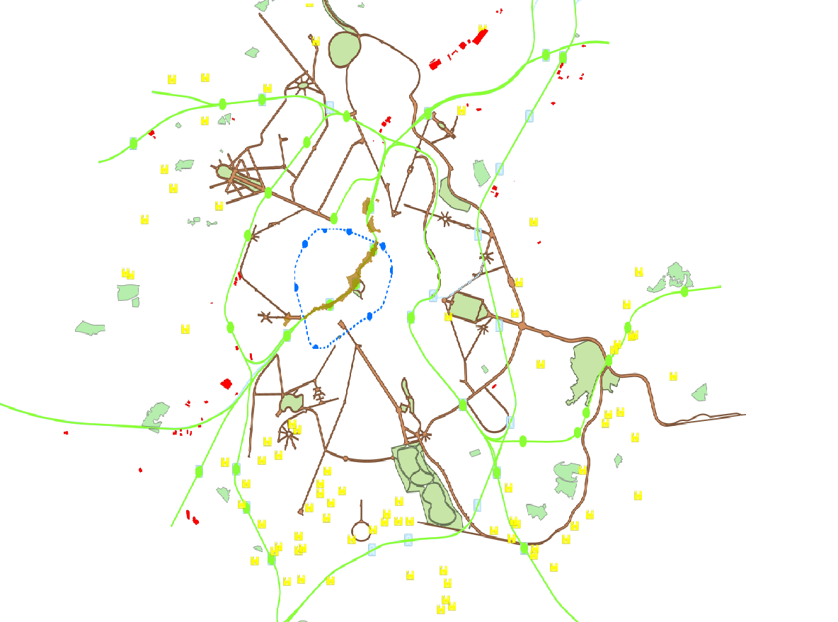
Map access service
Type of resources
Available actions
INSPIRE themes
Keywords
Contact for the resource
Provided by
Years
Update frequencies
Service types
-
This view service allows, by means of a formatted URL, to display the STIB bus network and tram and train network in the Brussels-Capital Region.
-

This view service is maintained for Osiris backward compatibility. Please do not use for a new application.
-
This view service allows, by means of a formatted URL, to display the statistical zones of the Brussels-Capital Region maintained by the Brussels institute for statistics and analysis.
-
This view service allows, by means of a formatted URL, to display all the 2D vectorial datasets that compose UrbIS M7.
-
This view service allows, by means of a formatted URL, to display the UrbIS Topo reference vector dataset.
-
This view service allows, by means of a formatted URL, to display the address points of the region Brussels, included in the BeSt Address dataset, the authentic source for the Brussels Region.
-
This view service allows, by means of a formatted URL, to display all the orthophotos and raster (DTM, DSM) reference datasets.
-
This view service allows, by means of a formatted URL, to display all the UrbIS vectorial datasets.
-
This view service allows, by means of a formatted URL, to display all the vector data that are used in Brusky.
-
This view service allows, by means of a formatted URL, to visualize UrbIS data from data updated annually.